Drone photography pricing isn't one-size-fits-all. Here's what actually drives the cost — and what to look for before you hire anyone in Harris County.
You’ve got a project that needs aerial imagery — a property listing, a commercial site, a construction job in progress — and you’re trying to figure out what this is actually going to cost you. You’ve probably already seen prices ranging from $150 to well over $1,500 and wondered what on earth explains that gap.
The honest answer is: a lot. Equipment, licensing, insurance, experience, and the specific demands of your project all play a role. This page walks you through the real factors behind drone photography pricing in Harris County so you can make a smart decision — and know exactly what you’re getting before you commit to anything.
The price range for professional drone photography typically runs between $150 and $1,500 per project, with hourly rates landing somewhere between $100 and $400 depending on scope and experience. Day rates for extended or multi-location shoots generally fall between $500 and $1,500. Those numbers aren’t arbitrary — they reflect real, documented costs that every legitimate operator carries.
Professional drone equipment alone runs from $1,500 to over $12,000. Add FAA Part 107 certification (a federal requirement for any commercial drone operation), liability insurance in the $1 million to $2 million range, post-production editing time, and the expertise to actually compose an image worth using — and the price starts making a lot more sense.
Not every drone shoot is priced the same, and understanding what drives cost up or down helps you budget accurately and avoid surprises. The biggest variables are project type, location, deliverable specifications, and the experience level of the photographer.
Project type matters because a quick real estate shoot over a residential property in Cypress is a fundamentally different job than documenting an industrial facility along the Houston Ship Channel or capturing construction progress at a Texas Medical Center expansion site. The latter involves more planning, more airspace coordination, and often more time in post-production.
Location is a bigger factor in Harris County than in most Texas markets. With three major commercial airports — George Bush Intercontinental, William P. Hobby, and Ellington Field — the county has some of the most complex FAA airspace in the state. Drone operations near these airports require LAANC authorization, which takes time and expertise to navigate correctly. We build that into our process as standard. An unlicensed operator often doesn’t know it’s required.
Deliverable specifications also shift the number. Raw files handed over the same day cost less than a fully edited gallery with specific resolution requirements, color grading, and fast turnaround. If you need 4K video alongside stills, expect the rate to reflect that. And if your project involves multiple locations across a large Harris County commercial property, travel time and setup are part of the equation too.
Finally, experience level is real. A photographer with decades of commercial photography behind them — who understands light, composition, and what a marketing team or engineering department actually needs from an aerial image — produces different results than someone who bought a drone six months ago and learned to fly on YouTube. The gap shows up in the final images, not just on the invoice.
The type of project you’re running has a direct effect on what you should expect to pay — and what you should expect to receive.
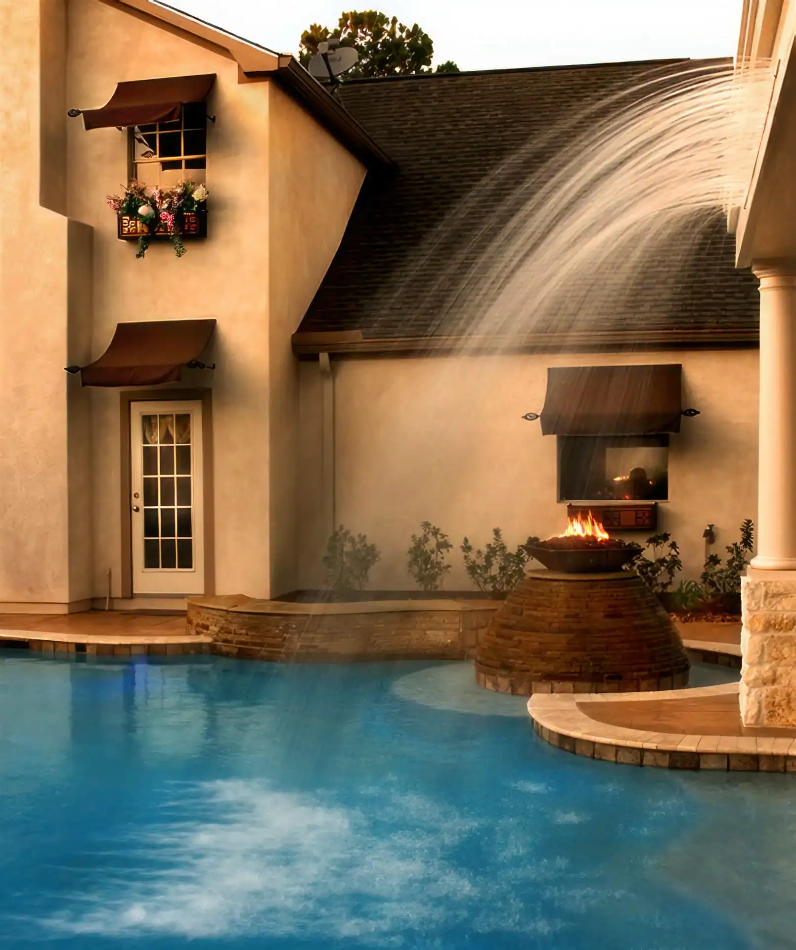
For real estate listings, professional drone photography in Harris County typically runs between $150 and $350 per session. That usually covers a set number of edited aerial stills and sometimes a short video clip. It’s a relatively contained scope, and the ROI is well documented. MLS studies have shown that listings with aerial drone photos sell 68% faster than those without and increase listing engagement by over 60%. For a property in Katy, Memorial, or the Energy Corridor, that’s a meaningful competitive edge in an active market.
Commercial real estate and corporate marketing shoots run higher — typically $300 to $800 or more — because the deliverable requirements are more complex. You might need specific angles for a marketing brochure, high-resolution files for large-format printing, or footage that integrates with a broader video production. These projects involve more pre-shoot planning and more time in post.
Industrial projects — refineries, chemical plants, pipeline infrastructure, warehousing, and manufacturing facilities — sit at the higher end of the range. Pasadena, Baytown, and the Ship Channel corridor are home to some of the most active industrial photography demand in the country, and aerial documentation of these sites requires not just flight skills but an understanding of industrial environments, safety protocols, and the specific visual requirements of engineering and operations teams. Day rates for this category often start at $500 and scale from there based on scope.
If you’re bundling aerial work with ground-level photography — executive portraits, facility interiors, product shots — you’ll typically save 15 to 20 percent compared to booking those services separately.
Want live answers?
Connect with a Joe Robbins Photography expert for fast, friendly support.
This is the question most people are actually wrestling with when they search for pricing. The gap between professional drone photography and someone offering cheap shoots through a Facebook group isn’t just about image quality — it’s about legal exposure.
Any drone operated for commercial purposes in the United States requires an FAA Part 107 Remote Pilot Certificate. That’s federal law. What most clients don’t know is that the FAA can fine not just the unlicensed operator, but also the business that hired them. Hiring someone without Part 107 certification isn’t just a quality risk — it’s a liability risk.

Before you book anyone for drone work in Harris County, there are two things you should ask for upfront: proof of FAA Part 107 certification and a certificate of liability insurance. A legitimate professional will have both ready and won’t hesitate to provide them.
Part 107 certification requires passing a 60-question aeronautical knowledge test at an FAA-approved testing center, covering airspace classification, weather effects, emergency procedures, and FAA regulations. Certified pilots must also complete recurrent online training every 24 calendar months to stay current, and every drone operated commercially must be individually registered with the FAA.
Liability insurance is the other non-negotiable. Industry standard for professional drone operators runs $1 million to $2 million in coverage. This protects you — the client — in the event of an incident on your property or job site. If a provider can’t show you a certificate of insurance with a specific dollar amount, that’s a red flag worth taking seriously.
Harris County’s airspace complexity adds another layer to this. Operations near George Bush Intercontinental, Hobby, or Ellington Field require LAANC authorization — a real-time FAA approval process that we handle as a standard part of pre-flight planning. If your project site falls within one of these controlled zones and your operator doesn’t mention airspace authorization, they likely don’t know it’s required.
There’s also a local ordinance worth knowing: Harris County prohibits drone operation in precinct parks except in designated areas, and the drone must remain in the operator’s line of sight unless the Park Superintendent has provided written authorization. If your shoot involves any county park property — for an event, a community project, or an outdoor venue — this applies to you.
There’s a version of this conversation that focuses entirely on flight skills and certifications, and those things matter. But they’re not what separates a great aerial image from a mediocre one. That comes down to photography.
A drone is just a camera platform. The image it captures is only as good as the eye directing it. Knowing where to position the aircraft, what time of morning gives you the best light over a flat Harris County landscape, how to frame a commercial property so it reads clearly at marketing scale, how to compose an industrial facility shot that communicates scale without looking chaotic — that’s not something you learn from a flight manual.
We’ve been creating commercial photographs since 1974. That’s before digital cameras, before Photoshop, before drones existed as a commercial tool. The discipline that comes from learning photography in the film era — where you couldn’t just take 400 shots and hope one works — is built into how we approach every project, aerial or otherwise. Our philosophy hasn’t changed: post-production is there to enhance a well-composed image, not rescue a poorly planned one.
We’re also ASMP members since 1979 — the American Society of Media Photographers — and have served as chapter president. That’s not a credential most drone operators in Harris County can point to, because most drone operators aren’t commercial photographers first. ASMP membership means adherence to professional ethics, pricing standards, and business practices that the organization has maintained for decades.
For clients in Harris County who need drone imagery that actually works — for a marketing campaign, a construction report, an industrial documentation package, or a commercial real estate listing — the difference between a technically airborne camera and a professionally composed aerial photograph is visible in the final product. And it’s the kind of difference that shows up in how your images perform, not just how they look on a screen.
Drone photography pricing in Harris County ranges widely because the work itself varies widely. A residential listing shoot in Katy and an industrial documentation project in Pasadena are not the same job, and they shouldn’t cost the same. What matters is that you know what you’re paying for — and that whoever you hire is licensed, insured, and capable of delivering images you’ll actually use.
Ask for Part 107 certification. Ask for proof of insurance. Look at their portfolio for work that resembles your project. And consider whether you’re hiring a drone operator who learned photography, or a commercial photographer who also operates drones. That distinction matters more than most people realize.
If you’re working on a project in Harris County and want a straightforward conversation about what aerial photography would actually involve — scope, timeline, pricing, and what to expect — we’re glad to talk it through with you. We’ve been doing this work in Houston for over 40 years.
Summary:
Article details: